This is a reflection on a four-day self-driving adventure in Chile’s Atacama Desert, often referred to as the “driest place on Earth” and the “most Martian-like place on Earth.” It’s perfect for those who enjoy a mix of stops and exploration across a vast, otherworldly landscape.
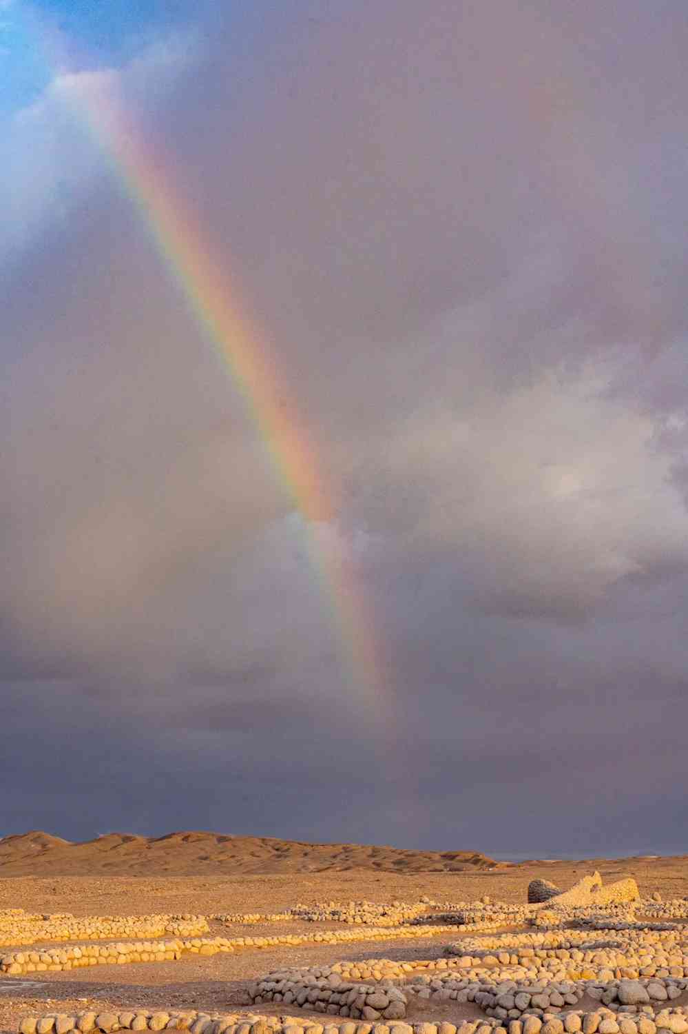
The Atacama Desert once went 90 years without a single drop of rain. Yet, during my visit, I was treated to two unexpected rain showers, a breathtaking rainbow that stretched across the sky, dazzling lightning, thunder, and towering cumulonimbus clouds 🤨
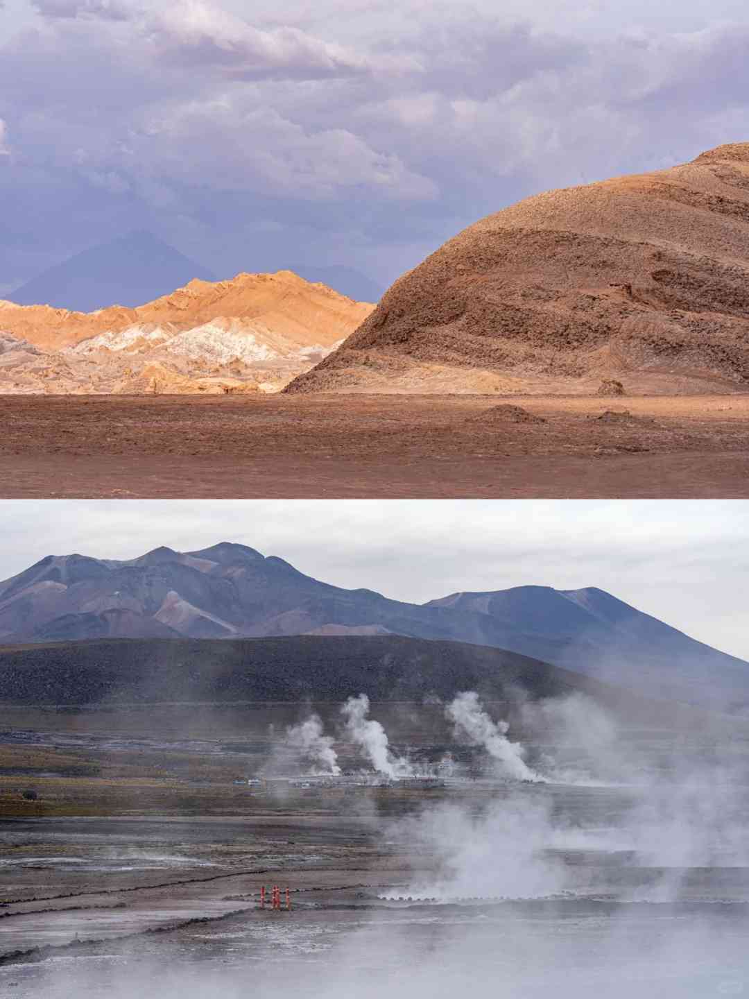
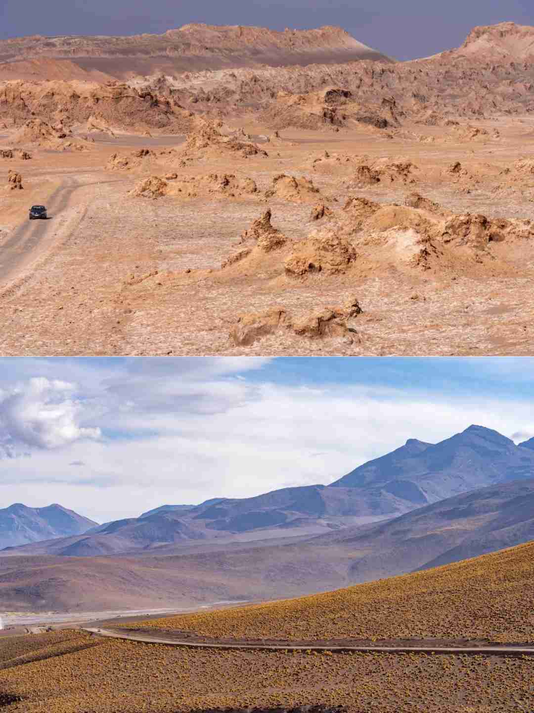
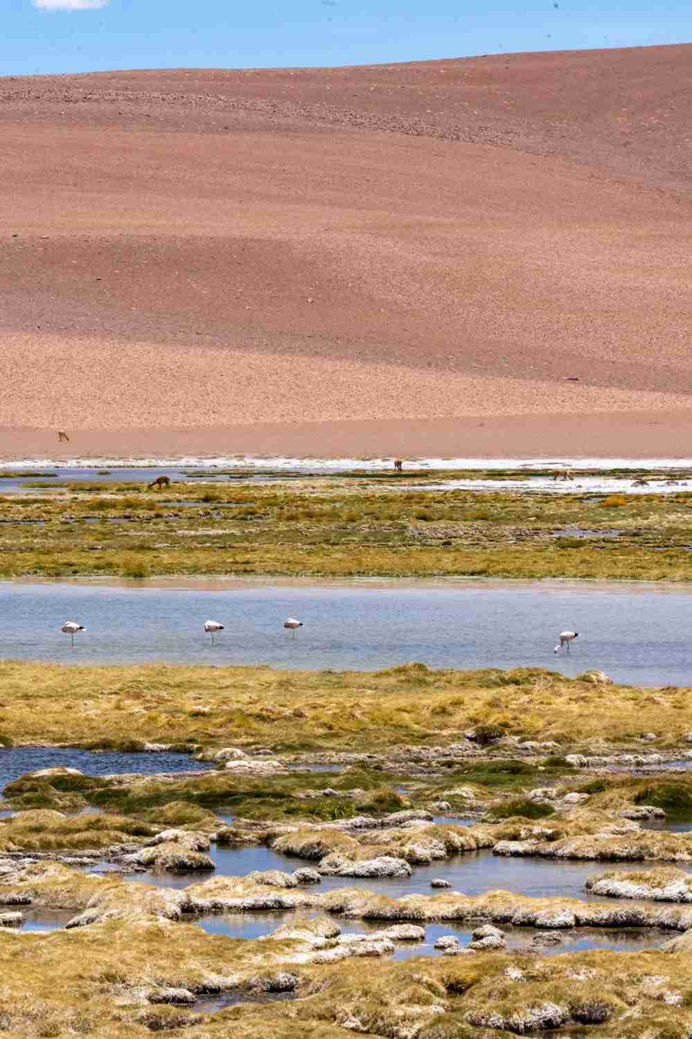
I found the Atacama Desert strikingly similar to the Hexi Corridor west of Wushaoling in Gansu, with its Danxia landforms, lush grasslands reminiscent of western Sichuan, majestic mountains, and arid deserts like those in Xinjiang. What sets it apart are the continuous Andes Mountains, active volcanoes, serene salt lakes, elegant flamingos, and curious guanacos (llamas).
‼️ Beware of altitude sickness
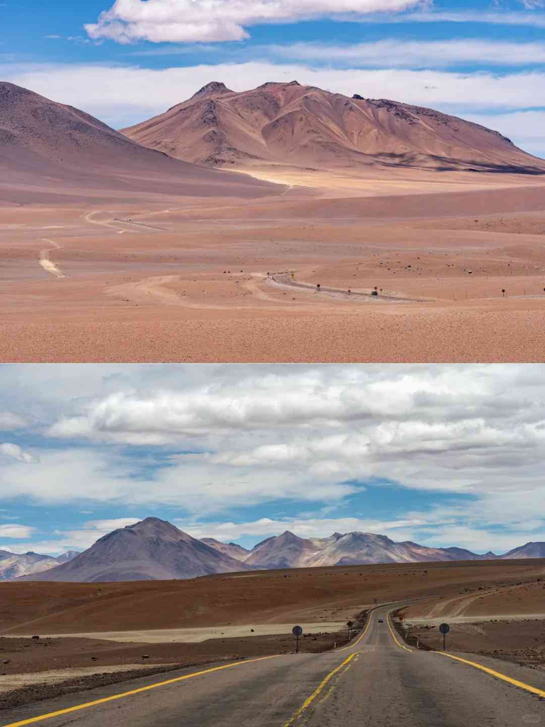
1️⃣ The journey begins at Calama Airport, about 100km from the desert’s heart, the charming town of San Pedro de Atacama (SPDA). Driving on Highway 23 through miles of straight desert road is an exhilarating experience.
‼️ Most of the roads are well-paved, with only a small section being gravel, which was a welcome relief after the bumpy rides in Patagonia.
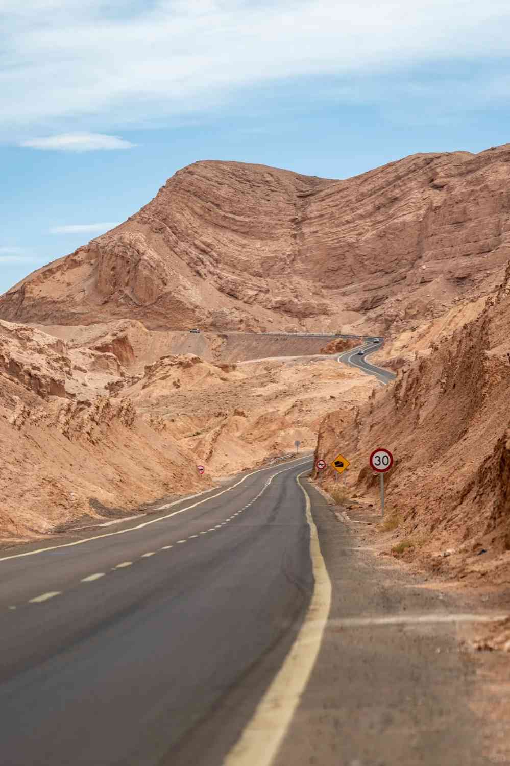
‼️ Slow down before turns; I witnessed two accidents where cars veered off the road on straight sections.
‼️ Maintain a safe distance from other vehicles; I saw a six-car pileup on Highway 27.
‼️ When making a temporary stop, pull over to the shoulder to avoid blocking the driving lane.
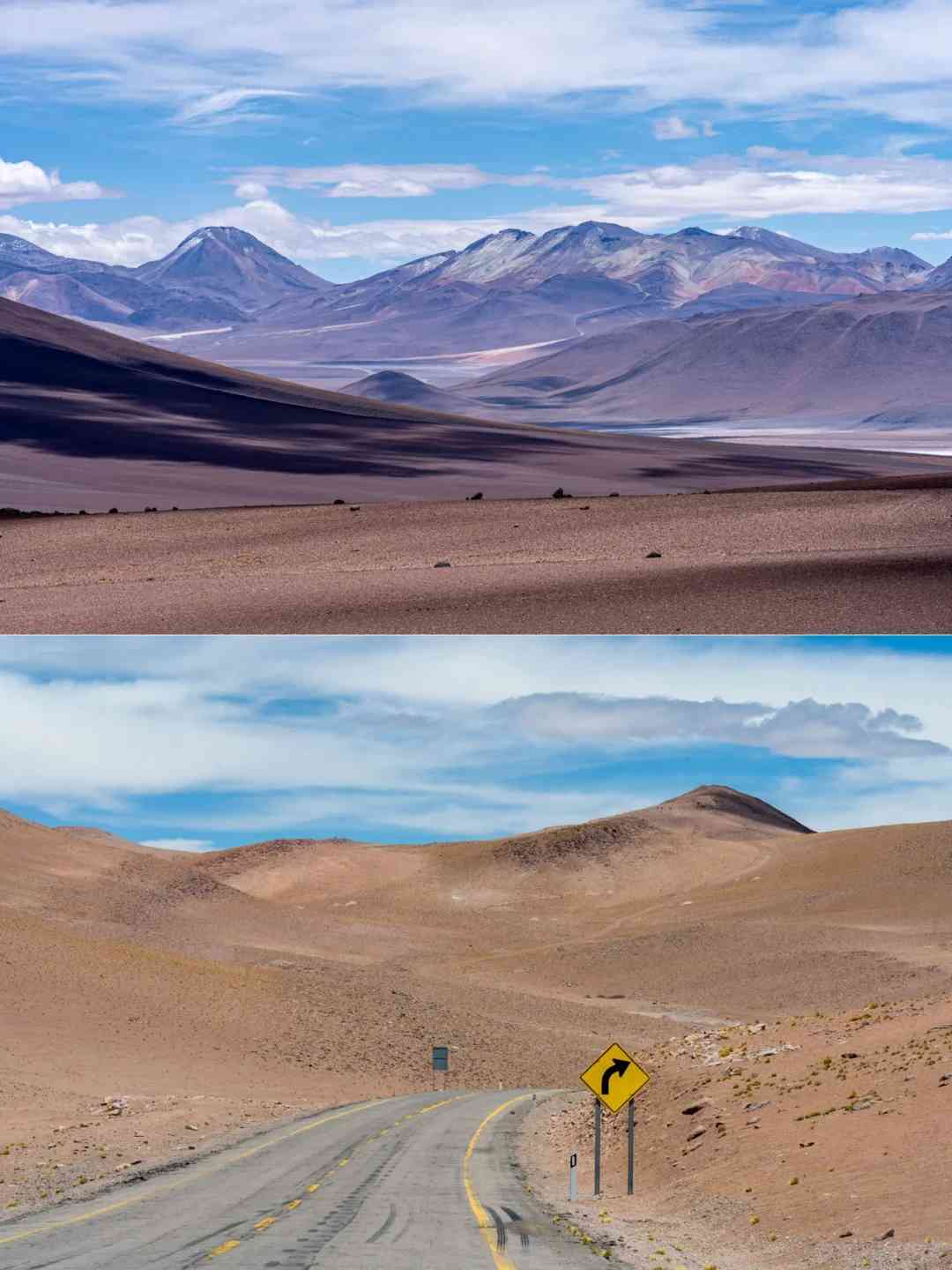
2️⃣ Exploration range
‼️ SPDA sits at an altitude of 2500m. With the town as your base, you can explore nearby wonders such as Death Valley, Moon Valley, and Devil’s Throat.
‼️ From the town, heading north on B245 towards the geysers, the elevation climbs to 4500m; heading east on Highway 27 towards Bolivia and Argentina, the highest point reaches 5200m; heading south on Highway 23 to the stunning Miscanti and Miñiques Lakes, Red Rocks (Piedras Rojas), and branching out to B355 towards Chaxa Lake, and finally to Argentina; heading west on Highway 23 from Calama; southwest on B241 to a small Danxia valley, with captivating desert scenery.
‼️ A gas station is conveniently located at the intersection of Highways 23 and 27 outside the town.
3️⃣ Calama Airport is almost the only option for car rental.
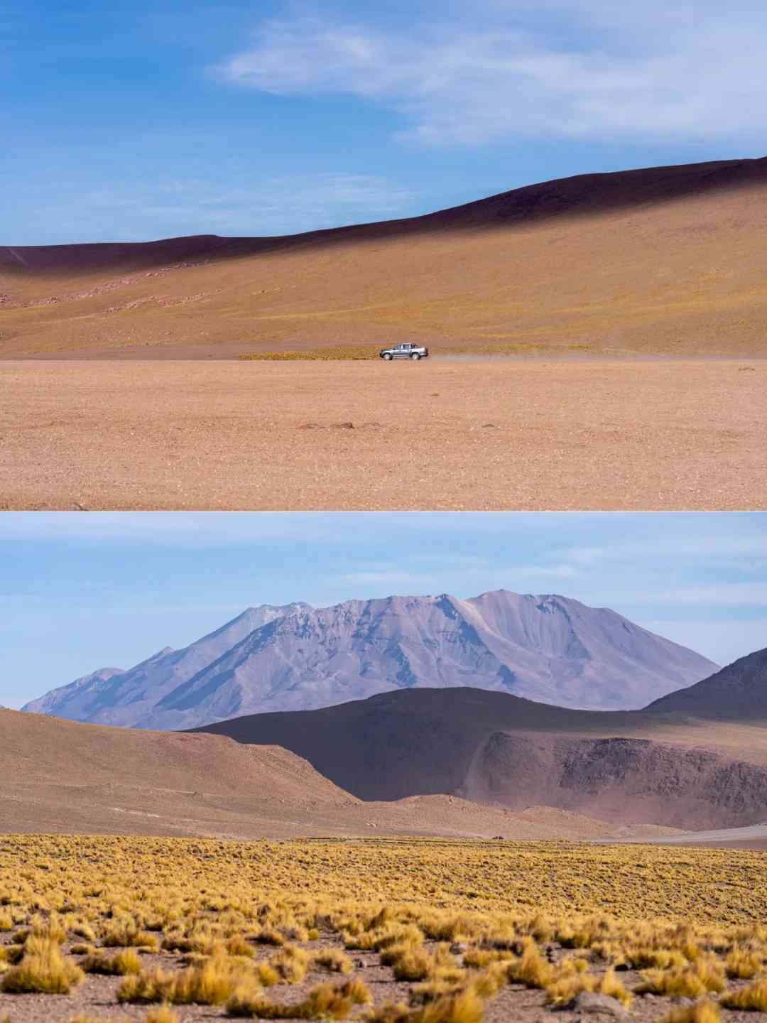
‼️ If possible, opt for a more powerful vehicle, as there are many high-altitude sections on Highway 27 and B245, reaching elevations of 4500-5200m, where climbing can be challenging (even with the pedal to the metal, the speed was only 35 km/h 🫣).
‼️ Many underpowered cars were seen stranded along the way.
‼️ The car rental company strongly advised against visiting supermarkets in Calama due to the risk of car vandalism for foreigners.
4️⃣ Additional Tips
‼️ Don’t forget to pack sunglasses, sunscreen, plenty of water, and snacks. It’s also a good idea to download offline Google Maps to stay connected even in remote areas.
‼️ The temperature can vary dramatically from day to night, so layering is key. Start your day with a down jacket, as it can get quite chilly, but be prepared to shed layers by midday when the sun is at its peak.
Opt for a three-layer clothing system, and if possible, book accommodations with air conditioning for added comfort.
‼️ My experience with altitude sickness was relatively mild, with just a slight feeling of tightness in my head. If you start to feel the effects of altitude in SPDA, take some time to let your body acclimate before pushing on with your journey.
‼️ When driving up to the plateau via Highway 27 and B245, make sure to dress warmly. The higher elevation can bring a significant drop in temperature, so being prepared will ensure a more comfortable trip.
Stay tuned for the next post, where I’ll share the detailed itinerary!